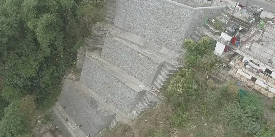
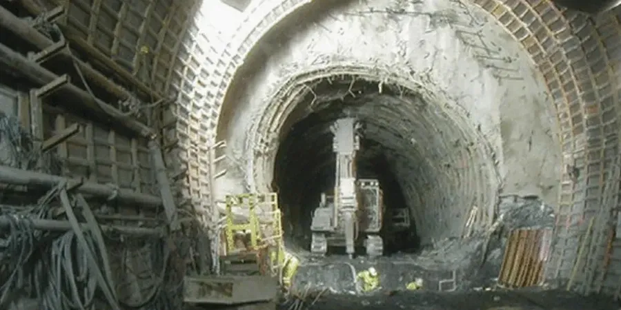
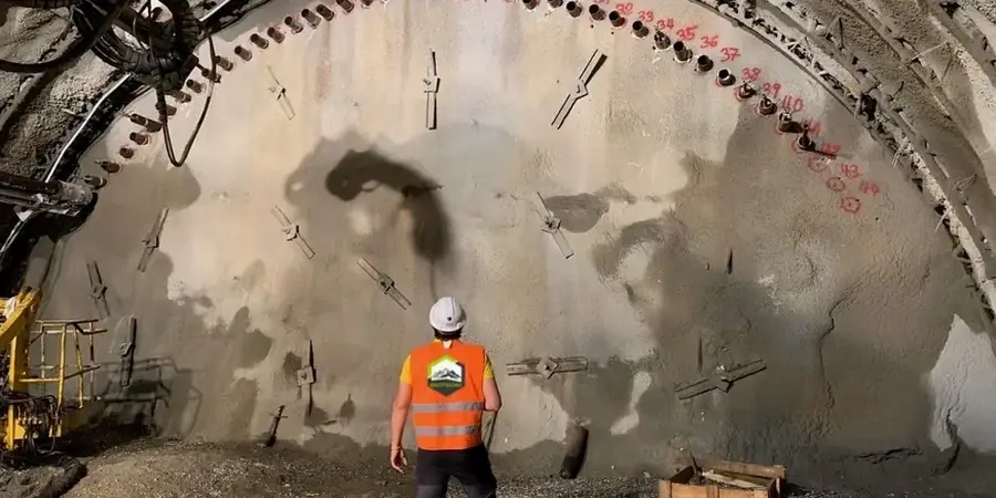
In Houston, geotechnical excavation monitoring is a daily routine where a total station locks onto a prism mounted on a soldier pile wall along the Buffalo Bayou corridor, while a ShapeArray inclinometer transmits tilt data to a tablet in the site trailer. Deep cuts for parking garages and mixed-use towers here encounter heavily overconsolidated Beaumont clays and Pleistocene terrace deposits, making the real challenge not the excavation itself but monitoring how adjacent pavements and shallow utilities react as the water table shifts after a heavy Gulf rain. We have found that a well-designed monitoring plan integrates automated total stations, vibration sensors, and standpipe piezometers into a continuous feedback loop between excavation activities and design assumptions. Since Houston's geology varies block by block, the instrumentation layout differs between a Westchase office site and one near the Ship Channel, and we adjust alert thresholds based on the actual pre-excavation baseline survey rather than using generic values.
The monitoring plan is not a checklist; it is a living document that adapts to the actual ground response observed during the dig.